
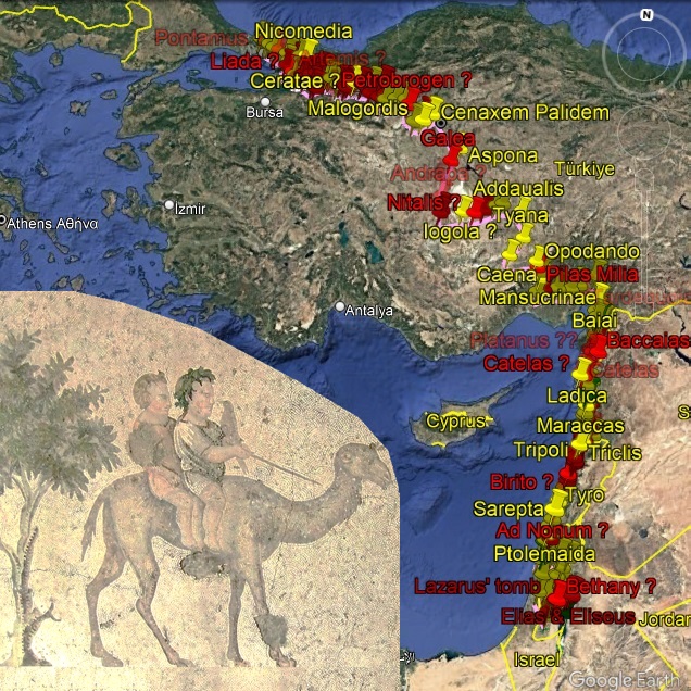
Google Earth .KMZ plots of 📍ancient places.
| Edition | Date | Link |
|---|---|---|
| 1.0 | Click here |
| Name etc. | Edition | Link | |
|---|---|---|---|

|
[Map] Tabula Peuteringiana 1st-5th centuries A.D. (pub. 13th century) |
-- |
Click here. Parts X, XI, and XII. |
|
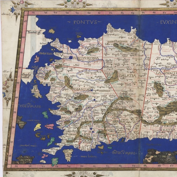
[Map] Ptolemy's Geographica 150 A.D. (Various editions) |
Latin. | See map-links in each area's relevant Ptolemaic plot. |
|
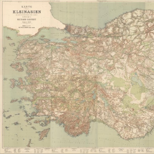
Rumsey Historical Map: 1902-1906 "Karte von Kleinasien" by Richard Kiepert |
German | Click here |
|
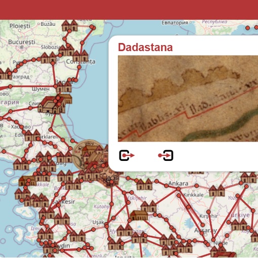
Omnes Viae's website, for Peutinger map manuscript snapshots: | Latin | Click here |