
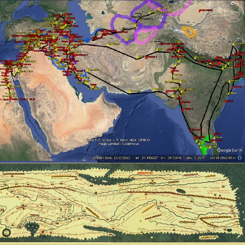
Google Earth .KMZ plots of 📍ancient places.
| Edition | Date | Link |
|---|---|---|
| 1.14 | Click here | |
| 1.13 | Click here | |
| 1.12 | Click here | |
| 1.11 | Click here | |
| 1.10 | Click here | |
| 1.9 | Click here | |
| 1.8 | Click here | |
| 1.7 | Click here | |
| 1.6 | Click here | |
| 1.5 | Click here | |
| 1.4 | Click here | |
| 1.3 | Click here | |
| 1.2 | Dec. 22, 2022 | Click here |
| 1.1 | Nov. 26, 2022 | Click here |
| 1.0 | Click here |
| Name etc. | Edition | Link | |
|---|---|---|---|

|
[Map] Tabula Peuteringiana 1st-5th centuries A.D. (pub. 13th century) |
-- |
Click here. Parts XII, XIII, and XIV. |
|
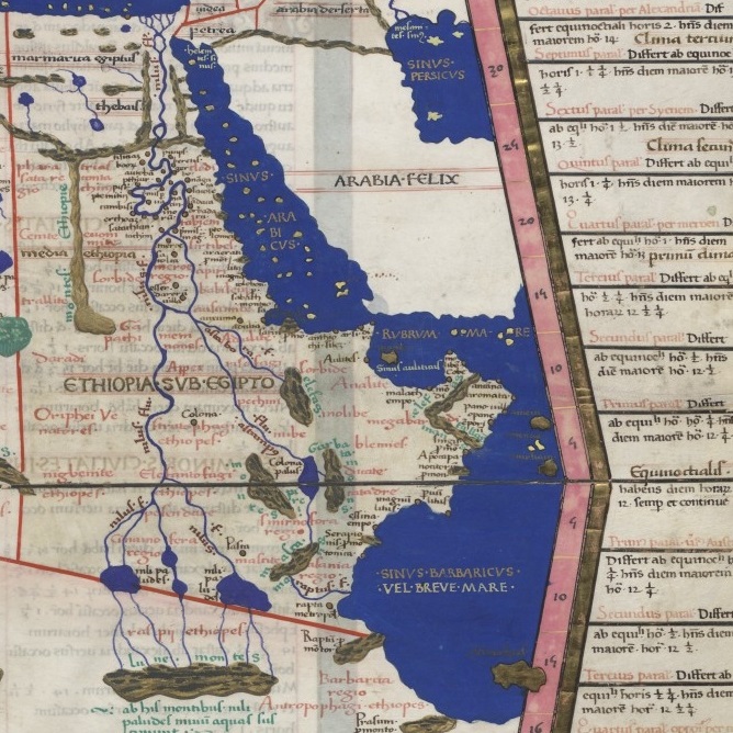
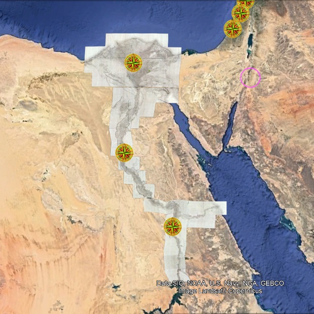
[Map] Ptolemy's Geographica 150 A.D. (Various editions) |
Latin. | See map-links in each area's relevant Ptolemaic plot. |
|
[Maps] Rumsey Historical Maps, early 1800s A.D. |
French or English | Activate GoogleEarth's Layers > Gallery > Rumsey maps, or Click here |